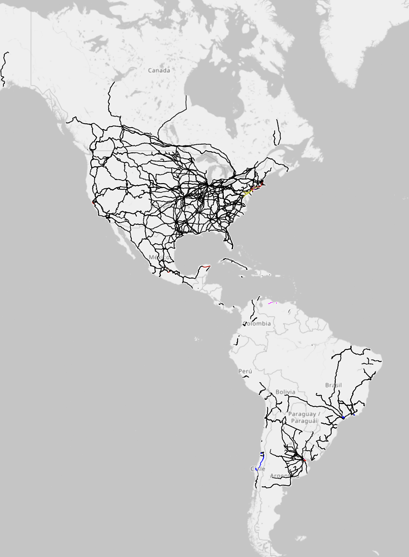
That is correct, it isn’t the default view, it’s the electrification view, which OP inferred they were using (the title says electrification map). If you open the link, the orange is worldwide general rail infrastructure.
If you click the top right options button (the 3 line “hamburger” icon at the far top right, separate from the map layers), you’ll see an option for electrification. This is the map they shared.
The grayscale option actually only grayscales the territory, not the infrastructure. I hope this helps clarify the situation.
I do agree that a legend would have been helpful.