
This is the best summary I could come up with:
As the Israel Defense Forces (IDF) continue to bomb the Gaza Strip, many researchers are attempting to track and quantify the damage to the territory’s buildings, infrastructure and the displacement of the local population.
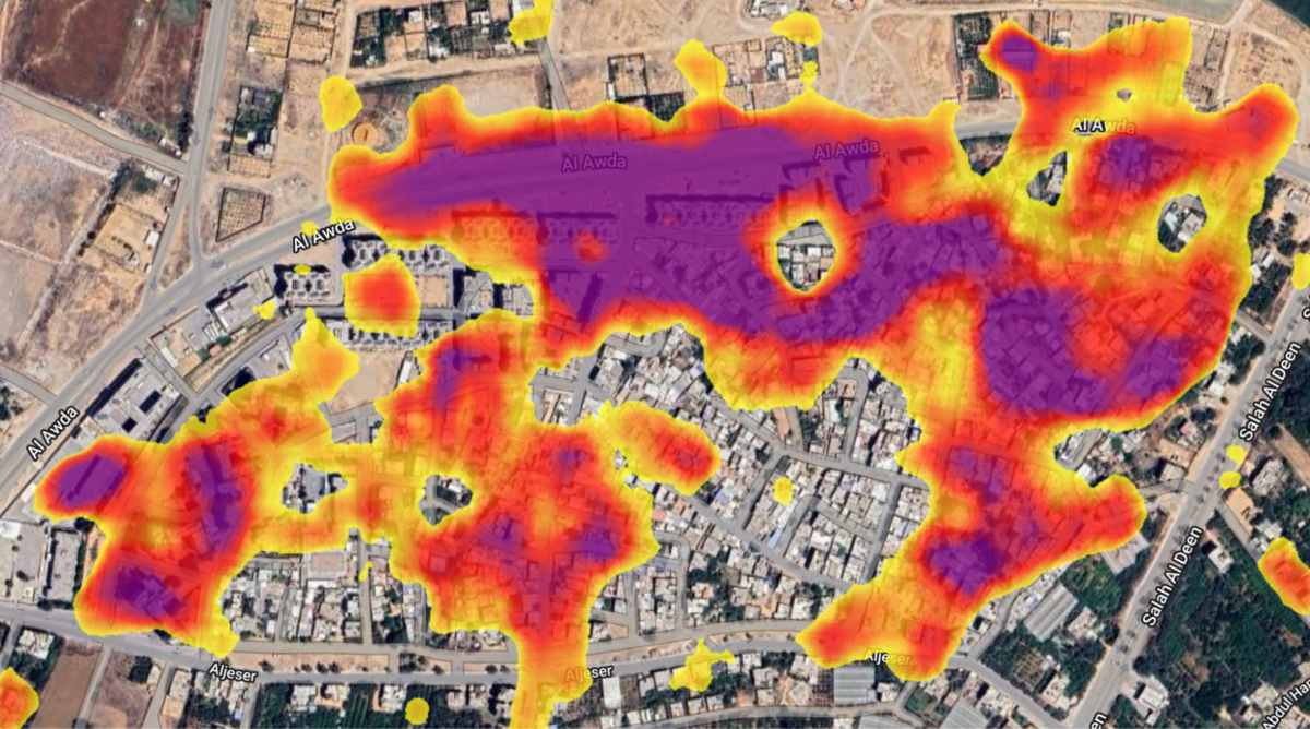
To understand how the tool works, let’s look at the neighbourhood of Izbat Beit Hanoun, which sustained heavy damage visible in these high-resolution, before-and-after satellite images from Planet:
The application above detects damaged areas by measuring the change in the intensity of the radar waves reflected back to the Sentinel-1 satellite before and after October 10, 2023, adjusted for how noisy the signal is in both periods.
To get a rough idea of the number of people affected in a given area, population data are sourced from the LandScan program at Oak Ridge National Laboratory.
In the example below, clicking on a geolocated event in the heavily damaged Tal al-Hawa neighbourhood reveals that Gaza City’s International Eye Hospital appears to have been hit by an airstrike.
For example, placing a large number of tents on a previously open field would be detected, since this would change the amplitude of the signal reflected back to the Sentinel-1 satellite from that patch of land.
The original article contains 1,451 words, the summary contains 196 words. Saved 86%. I’m a bot and I’m open source!