
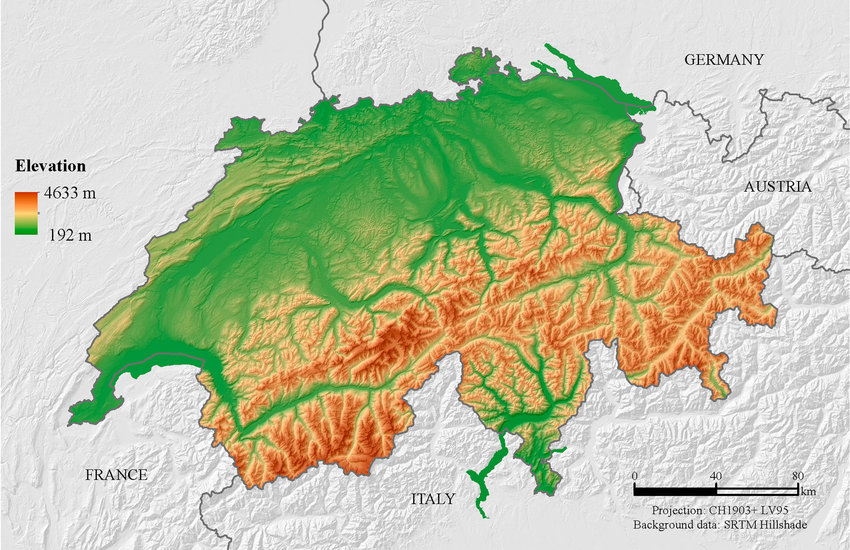
For example on wikipedia for Switzerland it says the country has an area of 41,285 km². Does this take into account that a lot of that area is actually angled at a steep inclination, thus the actual surface area is in effect larger than what you would expect when looking onto a map in satellite view?
In addition to the other reasons people have given for why they don’t: we’re usually less interested in the surface area of a plot of land than we are in the usable area.
People generally can’t live or farm on a significant slant and will instead level the ground or build supporting structures to make things level.
Things like rainfall are also generally better calculated by flat area.
But here we have Switzerland as the example :) where nearly every small or large piece of farmland is far from level.
“significant” being the keyword. :)
There’s clearly a slant, but you can see where it was a bit too much and so they added retaining walls to level things out.
In a place like this, you can tell what places are suitable for farming, which could be farmed with a little leveling, which are suitable for grazing, and which are just too steep for food.
They’re definitely not going to entirely level every place, but you also can’t grow food on the side of a mountain. :)
The photo of the terraced farming actually brings up an interesting point–in order to render those slopes usable for farming, terracing approximates the “flat” projection of the terrain anyways, so you end up with the same result. Buildings and any other usable structures follow the same rule: you can only build vertically, so the effective surface area is the same as the flat projection.
even the little bits of grass around the peaks in foreground could actually be used. I’m amazed how risky cows behaviour is regarding to the abyss, and goats somehow are just completely not afraid of heights at all and hop around on 400 meter cliffs like a walk in the park. So you can grow food (meat+milk) on mountain sides during summer
Yup, it’s why grazers are so common in mountainous areas. It’s way easier to manage goats and cows in a mountain, with some fruit, hay and wheat fields to supplement down in the valleys than it is to reshape the steep areas to make them suitable for crops.
It’s why Switzerland has it’s own type of cheese, and the flattest parts of the US are predominantly known for “lots of corn”.
To be clear though, the unusable areas I referred to were more the mountains in the background, or the nearly shear cliffs in the middle ground that the shepherd is unlikely to let the (perfectly willing) goats graze on, on account of needing to be able to get the goats later. :)
I have seen farmers work on steeper slopes (not saying it would be easy…).
I would rather guess the purpose of these retaining walls is to slow down the soil erosion.