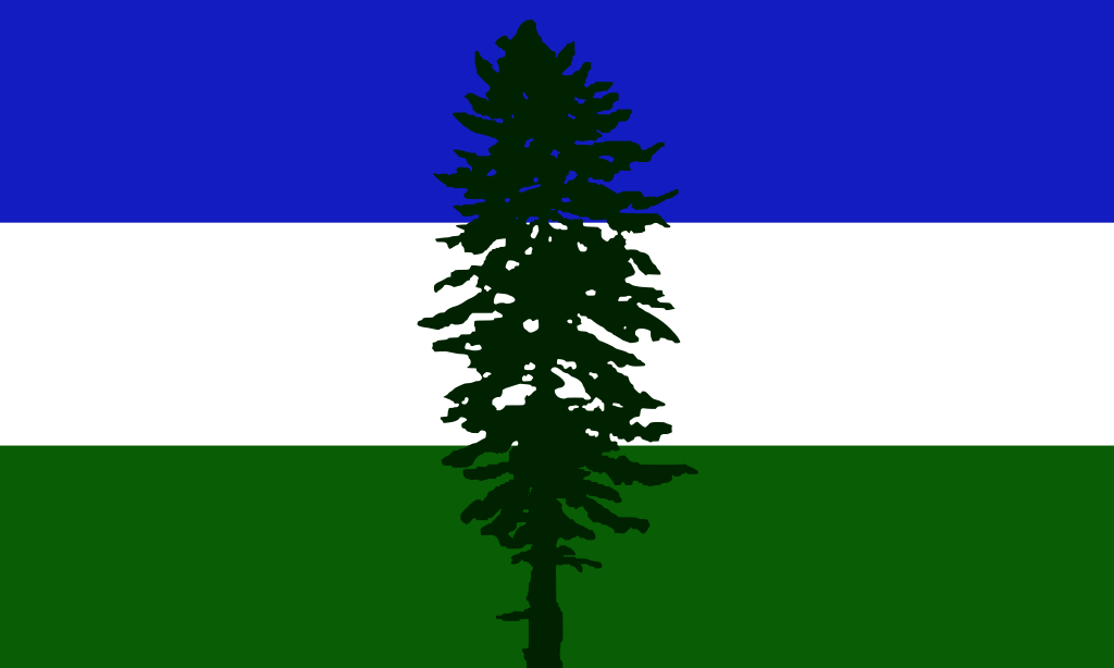

Conspiracy fish: “The Earth is flat. There is a giant land wall around the edges keeping our water from spilling over the edge!”
Don’t forget that the land wall erases memories of the land wall.
Right! Right.
Uh, what was it again?
I knew it. They DID build breathing apperatices to hunt lion from the coasts of Africa! Look how much land there they have mapped out.
I am a peacock, you gotta let me fly!
he loves you VERY MUCH Francine
Saltwater fish.
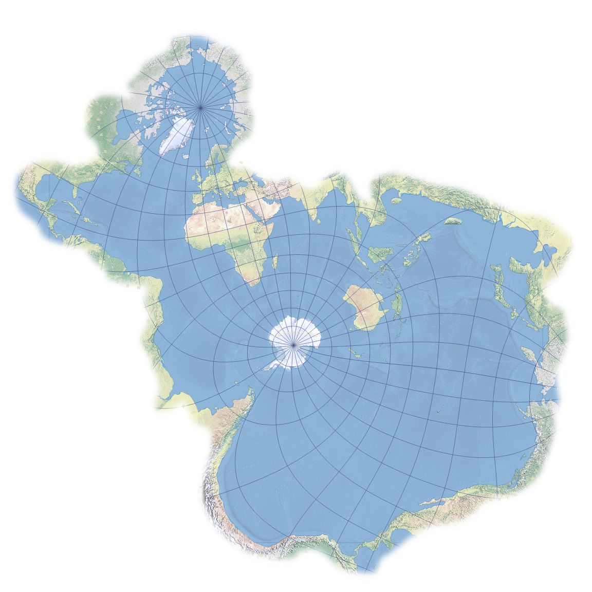
Hmm. Aren’t the Great Lakes in North America connected to each other and then to the St. Lawrence River via Lake Ontario, which eventually leads to the Atlantic Ocean? Maybe the map should include those large bodies of water too.
Lampreys are the greatest explorers among saltwater fish. They’ve mapped most of deepest darkest Greatlakesica, but most don’t make it back out to report their findings.
How do biologists determine that the lampreys migrated from the ocean versus being hatched/born in the Great Lakes?
Accent. You can take the fish out of the ocean but you can’t take the ocean out of the fish.
There are fish that go from saltwater to freshwater or vice versa. They’re called anadromous fish. Salmon are one species like that. So you’ll have to include every river as well.
They are. Also you can get to several of the Rockies, even past them,
e.g. The Fraser River will take you to Yellowhead Lake by Jasper Alberta.
Mackenzie River in the Northwest Territories will get you to Athebasca Lake, which also drains into Hudsons Bay.For that matter, most of the Canadian Shield is linked by rivers and creeks to Hudson’s Bay. Which is how that company used to be one of the largest “countries” on the planet. Their deed was to all land all water which flowed into the bay. The English King who did that was an idiot.
Interesting. Aside from North America, Lake Victoria, in Africa, and many other lakes connect to Bahr al Jabal, which connects to the Nile, and eventually the Mediterranean Sea. This is leading me down the geographic rabbit hole, haha.
Niagra falls is a one-way trip into the Great Lakes, although it does look like there are other passages through that area for fish.
Fish with a bird’s eye view of the Sahára, this is a cool idea but not consistent with it’s intention.
No Lake Baikal fishes :(
How these fish mapping out the interiors of Africa and Australia
Carefully and at great risk
Flying fish
Fish recon of Africa and Australia is already complete.
Everything’s coming up Spilhaus!
Two central Americas? No great lakes? Interior Africa? Some interesting choices exercised on this map. I’ll suspend disbelief…
Yeah this map seems a little fishy
Every map when I try to get a good minecraft seed (world spawn will be in Hawaii):
I feel like fish wouldn’t centre their map off of Antarctica, but rather the equator. Most fish are in warm water not freezing cold water.
Or maybe with the middle of the Pacific Ocean as the centre since it’s the largest open area of ocean.
There’s a lot of fish in the Southern ocean. In fact, it has become an international issue with trawling fleets from China etc overfishing the area.
Are you really suggesting that fish have a map, just one map of the world?
There is no way they don’t have many different protections. Based on different navigational and political goals.
Also the Pacific salmon definitely have the water ways of the PNW mapped.
The Caspian shouldn’t be on there though.
Somehow still makes Africa tiny.
Based sopo projection
Africa is even tinier.
Why wouldn’t you split the Mediterranean and the Gulf of Oman far apart? Fish aren’t taking the Suez.
To anything that swims, the distance from Libya to Sudan is nearly the circumference of the Earth.
Haha! Take that round earthers!


