The Picard Maneuver@lemmy.worldM to Cartography Anarchy@lemm.eeEnglish · 3 months agoProof that the earth isn't flatlemmy.worldimagemessage-square49fedilinkarrow-up1760arrow-down118
arrow-up1742arrow-down1imageProof that the earth isn't flatlemmy.worldThe Picard Maneuver@lemmy.worldM to Cartography Anarchy@lemm.eeEnglish · 3 months agomessage-square49fedilink
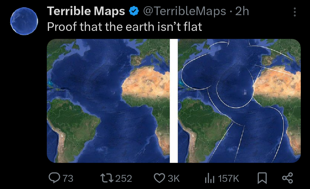
minus-squarekersplooshAlinkfedilinkEnglisharrow-up15·3 months agoIt is. The Mid-Atlantic Ridge is clearly visible in OP’s picture as a ribbon of lighter blue.
minus-squareceenote@lemmy.worldlinkfedilinkEnglisharrow-up2·3 months agoOh, I thought this was meant to be photorealistic minus clouds.
minus-squareInfynis@midwest.sociallinkfedilinkEnglisharrow-up2·3 months agoWell, it is, in that deeper water usually looks darker than shallow water
minus-squareCanadaPlus@lemmy.sdf.orglinkfedilinkEnglisharrow-up2·3 months agoBut, at the depths mostly involved, you would not see it. It’s all near-bottomless. It’s only meant to convey information evocatively.

It is. The Mid-Atlantic Ridge is clearly visible in OP’s picture as a ribbon of lighter blue.
Oh, I thought this was meant to be photorealistic minus clouds.
Well, it is, in that deeper water usually looks darker than shallow water
But, at the depths mostly involved, you would not see it. It’s all near-bottomless. It’s only meant to convey information evocatively.