
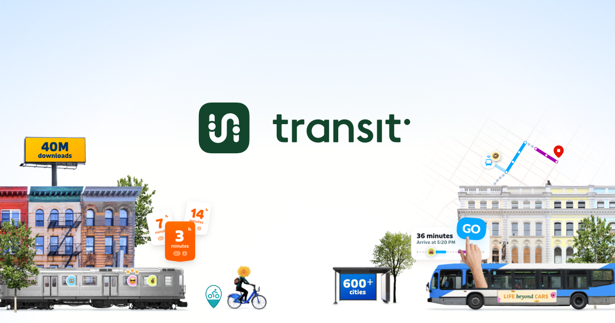
This is a great alternative to Apple / Google maps for public transit takers. Generally speaking their data is a lot better for service issues, rerouted lines, and the actual time of arrival for transit vehicles. Many transit authorities in Canada actually offer the premium subscription for this app, for free, to frequent riders AND the app is developed locally (in Québec)
If you’re just looking for general maps however I highly suggest Open Street Map, or the Organic Maps app on Android (which uses OSM data). While they aren’t explicitly Canadian, they get you away from American tech conglomerates and give back ownership of data to you, the user!
That is a really fascinating blog post! Thank you for sharing it :)