
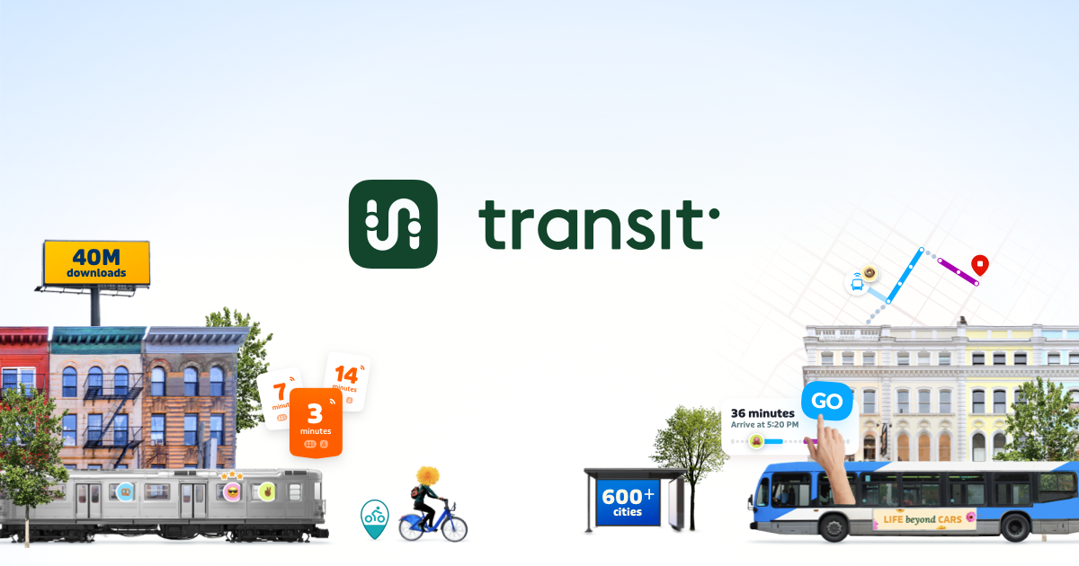
This is a great alternative to Apple / Google maps for public transit takers. Generally speaking their data is a lot better for service issues, rerouted lines, and the actual time of arrival for transit vehicles. Many transit authorities in Canada actually offer the premium subscription for this app, for free, to frequent riders AND the app is developed locally (in Québec)
If you’re just looking for general maps however I highly suggest Open Street Map, or the Organic Maps app on Android (which uses OSM data). While they aren’t explicitly Canadian, they get you away from American tech conglomerates and give back ownership of data to you, the user!
You must log in or register to comment.
I use Transit when taking the bus in Calgary. It’s very helpful. Didn’t know it was Canadian. I would say it is a must-have for transit users.
Yes! It’s a team in Montréal and they apparently work 4-day weeks. Id love to work there, especially since Ive read their blog about how they sent people in various cities to collect telemetry data about the pressure levels that phones can detect so that they can detect more accurately when the trains go through stations
That is a really fascinating blog post! Thank you for sharing it :)
This is an awesome app.
I wish it was an free/libre open source app.
Thanks! This looks really cool.
Does anyone know how to actually get the free upgrade? I get a notification that BC Transit provides “Royale” for free but it asks me to sign up for a paid account when I click it.
I am not entirely sure, for me there’s an option to email them if I believe I am admissible and haven’t been added. I don’t take transit enough to be admissible however, I usually just walk. I will have to ask some of my friends who have it if it was a fully automatic process for them or if it was manual (in my case, OC Transpo / STO)
Edit: I just opened the app to check and I am now a Royale member, so it is automatic. I take transit only once a week I’d say.
How does the app know if you’re taking transit?
As with any map app, when the app is in the foreground it uses location data to position you on the map. Most of the transit authorities also have public APIs for locating their vehicles which the app uses in conjunction with user location data to provide more accurate transit arrival time (and inherently is how they can know if you’re taking transit)
They do state in their privacy policy that location data isn’t linked to your personal information, nor is it sold to third parties. Their model solely relies on user / transit authority subscriptions. Of course, this still requires you to trust their data processing, but I feel like they adequately provide useful transit features with said location data.
Edit: I should also add you don’t need to make an account, in which case location data cannot be tied to any personal user data and you are still admissible for the free subscription offered by select transit authorities.
Just use the transit agency official app. ATRM app in montreal works fine for me.
Preferable to a for-profit company claiming to not sell ads/data yet has an opaque funding model.